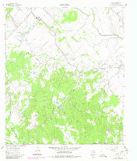
1960 Map of Snook
USGS Topo · Published 1980About this map
Snook serves as a primary hub for this Burleson County landscape, characterized by a complex network of bayous and creeks. To the south, the Gulf Colorado and Santa Fe railroad cuts across the terrain near Rough Bayou. The area is deeply marked by community landmarks, from the High Sch and Czech Ch in the north to the cluster of Little Flock and Wilcox in the east.
Find a feature on this map
36 named features on this map. Tap any name to fly to it.
Don’t see what you’re looking for? This feature index may not catch every label — zoom into the map to look around manually.
Map Details
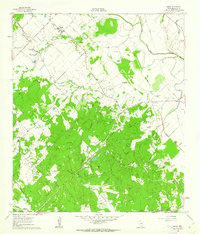
Editions of this 1960 Snook Map
2 editions found
Other maps of this area

1914 · Gay Hill
USGS Topo · 1:62,500

1954 · Austin
USGS Topo · 1:250,000

1956 · Bryan
USGS Topo · 1:62,500

1956 · Caldwell
USGS Topo · 1:62,500

1956 · Somerville
USGS Topo · 1:62,500

1959 · Gay Hill
USGS Topo · 1:24,000

1959 · Clay
USGS Topo · 1:24,000

1959 · Somerville
USGS Topo · 1:24,000

1959 · Independence
USGS Topo · 1:24,000

1960 · Lyons
USGS Topo · 1:24,000