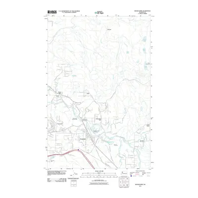
2011 Map of Snoqualmie
USGS Topo · Published 2011About this map
The Snoqualmie River carves a deep valley through this Washington landscape, punctuated by the industrial and natural landmark of Snoqualmie Falls. In the early 21st century, the region's economy is shaped by its hydrology, visible in the Snoqualmie Diversion Dam and the Snoqualmie Mill Pond Dam near the town center. Local recreation and land use are well-defined, with the Snoqualmie Ridge Golf Course and Mount Si Golf Course flanking the river's path. To the north and east, the terrain rises toward Fuller Mountain and a series of lakes, including Bridges Lake and Klaus Lake, reflecting the transition from the valley floor to the upland forest. Smaller settlements like Tokul, Ellisville, and Ernies Grove provide a detailed look at the residential patterns surrounding the main Snoqualmie townsite and its essential crossings like the Snoqualmie River Bridge.
Find a feature on this map
70 named features on this map. Tap any name to fly to it.
Don’t see what you’re looking for? This feature index may not catch every label — zoom into the map to look around manually.
Map Details
Editions of this 2011 Snoqualmie Map
This is the sole edition of this map. No revisions or reprints were ever made.
Other maps of this area

1913 · Cedar Lake
USGS Topo · 1:125,000

1921 · Sultan
USGS Topo · 1:125,000

1923 · Sultan
USGS Topo · 1:125,000

1953 · Snoqualmie
USGS Topo · 1:24,000

1953 · North Bend
USGS Topo · 1:24,000

1953 · Lake Joy
USGS Topo · 1:24,000

1953 · Hobart
USGS Topo · 1:24,000

1953 · Fall City
USGS Topo · 1:24,000

1953 · Carnation
USGS Topo · 1:24,000

1957 · Wenatchee
USGS Topo · 1:250,000