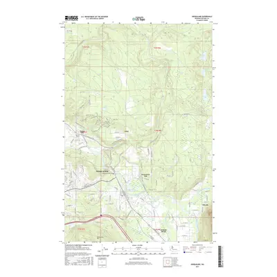
2017 Map of Snoqualmie
USGS Topo · Published 2017About this map
Snoqualmie Falls serves as the dramatic focal point of this King County landscape, where the Snoqualmie River drops toward the valley floor. The map documents a complex hydrological environment shaped by the convergence of the North Fork, Middle Fork, and South Fork Snoqualmie Rivers. Industry and infrastructure are evident in the Snoqualmie Mill Pond and the Snoqualmie River Bridge, which connect the urban center of Snoqualmie to its surrounding timber and agricultural lands.
Find a feature on this map
133 named features on this map. Tap any name to fly to it.
Don’t see what you’re looking for? This feature index may not catch every label — zoom into the map to look around manually.
Map Details
Editions of this 2017 Snoqualmie Map
This is the sole edition of this map. No revisions or reprints were ever made.
Other maps of this area

1913 · Cedar Lake
USGS Topo · 1:125,000

1921 · Sultan
USGS Topo · 1:125,000

1923 · Sultan
USGS Topo · 1:125,000

1953 · Snoqualmie
USGS Topo · 1:24,000

1953 · North Bend
USGS Topo · 1:24,000

1953 · Lake Joy
USGS Topo · 1:24,000

1953 · Hobart
USGS Topo · 1:24,000

1953 · Fall City
USGS Topo · 1:24,000

1953 · Carnation
USGS Topo · 1:24,000

1957 · Wenatchee
USGS Topo · 1:250,000