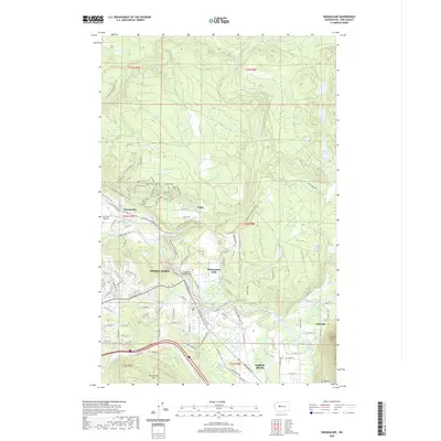
2020 Map of Snoqualmie
USGS Topo · Published 2020About this map
The Snoqualmie Falls landscape dominates this modern survey, where the convergence of the North Fork, Middle Fork, and South Fork Snoqualmie Rivers defines the valley floor. This confluence area is characterized by complex hydrology, including the Meadowbrook Slough and Kimball Creek Swamp. The map documents the developed corridors of Snoqualmie and North Bend, along with smaller settlements like Tokul and Ellisville.
Find a feature on this map
137 named features on this map. Tap any name to fly to it.
Don’t see what you’re looking for? This feature index may not catch every label — zoom into the map to look around manually.
Map Details
Editions of this 2020 Snoqualmie Map
This is the sole edition of this map. No revisions or reprints were ever made.
Other maps of this area

1913 · Cedar Lake
USGS Topo · 1:125,000

1921 · Sultan
USGS Topo · 1:125,000

1923 · Sultan
USGS Topo · 1:125,000

1953 · Snoqualmie
USGS Topo · 1:24,000

1953 · North Bend
USGS Topo · 1:24,000

1953 · Lake Joy
USGS Topo · 1:24,000

1953 · Hobart
USGS Topo · 1:24,000

1953 · Fall City
USGS Topo · 1:24,000

1953 · Carnation
USGS Topo · 1:24,000

1957 · Wenatchee
USGS Topo · 1:250,000