
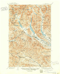
1903 Map of Snoqualmie
USGS Topo · Published 1903About this map
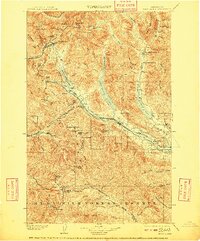
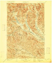
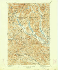
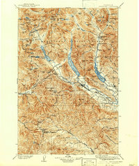
Northern Pacific RR infrastructure dominates this mountain landscape, tracing a vital rail corridor through the Cascades just after the turn of the century. The engineering feat of the Stampede Tunnel provides the crucial link between the Green River valley and the Yakima River headwaters, supporting the growth of rail-dependent settlements like Lester, Stampede, and Easton. To the south, the Mt. Rainier Forest Reserve covers the southern terrain, where peaks like Pyramid Peak and Arch Rock overlook a network of creeks and passes.
Find a feature on this map
97 named features on this map. Tap any name to fly to it.
Don’t see what you’re looking for? This feature index may not catch every label — zoom into the map to look around manually.
Map Details
Editions of this 1903 Snoqualmie Map
6 editions found
Other maps of this area

1897 · Mount Stuart
USGS Topo · 1:125,000

1899 · Ellensburg
USGS Topo · 1:125,000

1901 · Ellensburg
USGS Topo · 1:125,000

1901 · Chiwaukum
USGS Topo · 1:125,000

1901 · Snoqualmie Pass
USGS Topo · 1:125,000

1902 · Mount Aix
USGS Topo · 1:125,000

1902 · Skykomish
USGS Topo · 1:125,000

1902 · Mount Stuart
USGS Topo · 1:125,000

1904 · Mt Aix
USGS Topo · 1:125,000

1904 · Chiwaukum
USGS Topo · 1:125,000