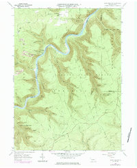
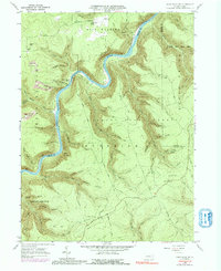
1960 Map of Snow Shoe NW
USGS Topo · Published 1983About this map
The Susquehanna River - West Branch snakes through a deeply dissected landscape within Sproul State Forest, defining the rugged character of this central Pennsylvania region. Along the river's banks, the Penn Central railroad tracks follow the water's curves, serving industrial and transport needs near Black Stump Siding. This 1960s survey illustrates a wilderness being utilized for timber, recreation, and resource extraction, evidenced by the presence of a Strip Mine and numerous hunting or forestry outposts like Camp Miller and Bloom Draft Camp.
Find a feature on this map
69 named features on this map. Tap any name to fly to it.
Don’t see what you’re looking for? This feature index may not catch every label — zoom into the map to look around manually.
Map Details
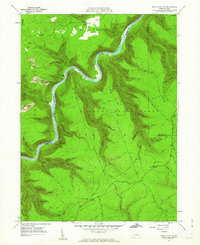
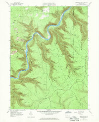
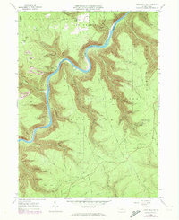
Editions of this 1960 Snow Shoe NW Map
5 editions found
Other maps of this area

1928 · Snow Shoe
USGS Topo · 1:48,000

1929 · Karthaus
USGS Topo · 1:62,500

1931 · Show Shoe
USGS Topo · 1:62,500

1932 · Karthaus
USGS Topo · 1:62,500

1945 · Driftwood
USGS Topo · 1:48,000

1945 · Sinnemahoning
USGS Topo · 1:24,000

1946 · Renovo West
USGS Topo · 1:62,500

1946 · Keating
USGS Topo · 1:24,000

1946 · Renovo West
USGS Topo · 1:24,000

1947 · Sinnemahoning
USGS Topo · 1:24,000
Featured Places
- West Keating Township, PA
- East Keating Township, PA
- Beech Creek Township, PA
- Twin Hollows, PA
- Burnside Township, PA