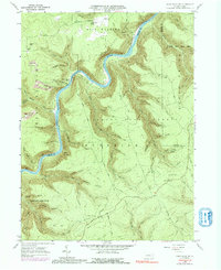
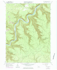
1960 Map of Snow Shoe NW
USGS Topo · Published 1992About this map
Pottersdale and the winding course of the West Branch Susquehanna River define this deeply incised plateau in the early 1960s. The river acts as a central artery for the landscape, flanked by the Penn Central railroad and historical industrial remnants like the Black Stump Siding. The map reveals a transition between active resource extraction, evidenced by a Strip Mine north of Birch, and the conservation efforts within the Sproul State Forest and State Game Lands No 100.
Find a feature on this map
59 named features on this map. Tap any name to fly to it.
Don’t see what you’re looking for? This feature index may not catch every label — zoom into the map to look around manually.
Map Details
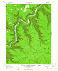
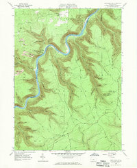
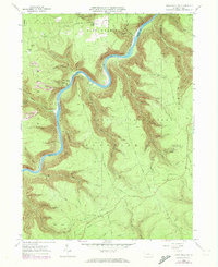
Editions of this 1960 Snow Shoe NW Map
5 editions found
Other maps of this area

1928 · Snow Shoe
USGS Topo · 1:48,000

1929 · Karthaus
USGS Topo · 1:62,500

1931 · Show Shoe
USGS Topo · 1:62,500

1932 · Karthaus
USGS Topo · 1:62,500

1945 · Driftwood
USGS Topo · 1:48,000

1945 · Sinnemahoning
USGS Topo · 1:24,000

1946 · Renovo West
USGS Topo · 1:62,500

1946 · Keating
USGS Topo · 1:24,000

1946 · Renovo West
USGS Topo · 1:24,000

1947 · Sinnemahoning
USGS Topo · 1:24,000
Featured Places
- West Keating Township, PA
- East Keating Township, PA
- Beech Creek Township, PA
- Twin Hollows, PA
- Burnside Township, PA