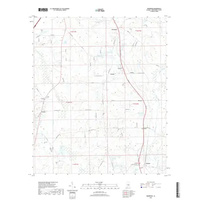
2018 Map of Snowdoun
USGS Topo · Published 2018About this map
The settlement of Snowdoun anchors the northern reaches of this Montgomery County landscape, where the rural character of central Alabama is defined by a network of family-owned lakes and historic cemeteries. To the south and west, the terrain is shaped by the winding courses of Pintlala Cr and Ramer Creek, creating a mosaic of wetlands and small water bodies such as Sims Lake Number One and Davis Lakes Number One.
Find a feature on this map
77 named features on this map. Tap any name to fly to it.
Don’t see what you’re looking for? This feature index may not catch every label — zoom into the map to look around manually.
Map Details
Editions of this 2018 Snowdoun Map
This is the sole edition of this map. No revisions or reprints were ever made.
Other maps of this area
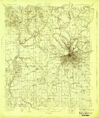
1927 · Montgomery
USGS Topo · 1:48,000
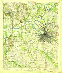
1930 · Montgomery
USGS Topo · 1:62,500

1953 · Montgomery
USGS Topo · 1:250,000

1956 · Montgomery
USGS Topo · 1:250,000

1957 · Montgomery
USGS Topo · 1:250,000
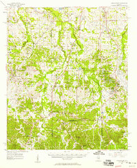
1957 · Letohatchee
USGS Topo · 1:62,500
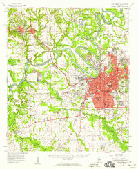
1958 · Montgomery
USGS Topo · 1:62,500
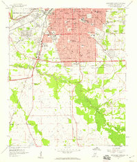
1958 · Montgomery South
USGS Topo · 1:24,000
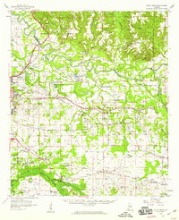
1958 · Mount Meigs
USGS Topo · 1:62,500
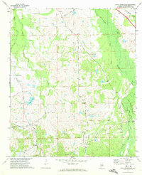
1971 · Davis Crossroads
USGS Topo · 1:24,000