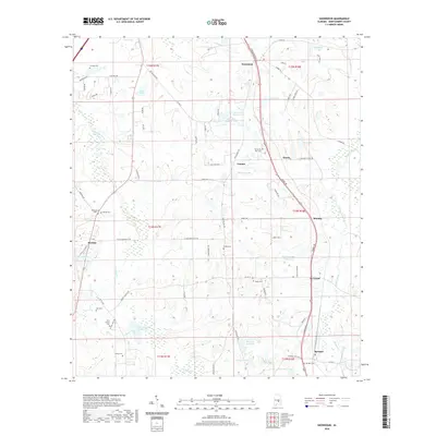
2020 Map of Snowdoun
USGS Topo · Published 2020About this map
Snowdoun and Pintlala anchor a landscape defined by its network of family and community burial grounds, marking the deep ancestral roots throughout this portion of Montgomery County. The terrain is characterized by a high density of small water bodies and creek systems, including Pintlala Creek and Ramer Creek, which are surrounded by numerous named lakes such as Sims Lake Number One, Faulkner Lake, and Lake Edna. This abundance of private water features suggest a modern era of localized land management and recreation.
Find a feature on this map
86 named features on this map. Tap any name to fly to it.
Don’t see what you’re looking for? This feature index may not catch every label — zoom into the map to look around manually.
Map Details
Editions of this 2020 Snowdoun Map
This is the sole edition of this map. No revisions or reprints were ever made.
Other maps of this area

1927 · Montgomery
USGS Topo · 1:48,000

1930 · Montgomery
USGS Topo · 1:62,500

1953 · Montgomery
USGS Topo · 1:250,000

1956 · Montgomery
USGS Topo · 1:250,000

1957 · Montgomery
USGS Topo · 1:250,000

1957 · Letohatchee
USGS Topo · 1:62,500

1958 · Montgomery
USGS Topo · 1:62,500

1958 · Montgomery South
USGS Topo · 1:24,000

1958 · Mount Meigs
USGS Topo · 1:62,500

1971 · Davis Crossroads
USGS Topo · 1:24,000