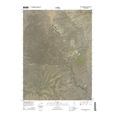
2015 Map of Snowstorm Mountain
USGS Topo · Published 2015About this map
Snowstorm Mountain dominates the high-altitude landscape of Lassen County, where topographic relief defines the drainage patterns of several intermittent water sources. The small settlement at Crest sits near the western edge, connected by a network of ranch and mountain roads such as Horse Lake Rd and Spanish Springs Rd. The map illustrates a high-desert environment characterized by essential water points, including Spanish Springs, Rye Ranch Spring, and Tule Patch Spring, which likely served historical ranching activities. Canyons such as Vincent Canyon and Nye Canyon carve through the southern slopes, directing seasonal runoff toward Secret Cr. This 2015 survey provides a modern snapshot of a sparsely populated region where the physical geography continues to dictate human movement and land use.
Find a feature on this map
19 named features on this map. Tap any name to fly to it.
Don’t see what you’re looking for? This feature index may not catch every label — zoom into the map to look around manually.
Map Details
Editions of this 2015 Snowstorm Mountain Map
This is the sole edition of this map. No revisions or reprints were ever made.
Other maps of this area

1886 · Honey Lake
USGS Topo · 1:250,000

1891 · Honey Lake
USGS Topo · 1:250,000

1893 · Honey Lake
USGS Topo · 1:250,000

1954 · Observation Peak
USGS Topo · 1:62,500

1954 · Karlo
USGS Topo · 1:62,500

1954 · Ravendale
USGS Topo · 1:62,500

1954 · Shinn Mountain
USGS Topo · 1:62,500

1955 · Westwood
USGS Topo · 1:250,000

1958 · Westwood
USGS Topo · 1:250,000

1959 · Westwood
USGS Topo · 1:250,000