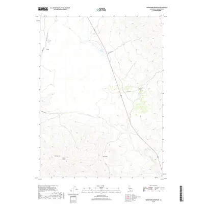
2018 Map of Snowstorm Mountain
USGS Topo · Published 2018About this map
Crest sits along the western edge of this Lassen County landscape, where the Ltt Modoc Line Rail Trail follows the path of former rail infrastructure through the high desert. The terrain is defined by dramatic elevation changes, notably Snowstorm Mtn and the deep cuts of Vincent Canyon and Nye Canyon. Water sources, though seemingly scarce in this environment, are specifically identified at Spanish Springs, Rye Ranch Spring, and Tile Patch Spring, indicating their importance to local ranching and travel. This 2018 survey reveals a network of primitive and secondary routes like Horse Lake Rd and Snow Storm Rd that provide access to this isolated portion of the Modoc Plateau. The map also traces the seasonal flows of Secret Cr and Cherry Cr as they navigate the arid canyons.
Find a feature on this map
19 named features on this map. Tap any name to fly to it.
Don’t see what you’re looking for? This feature index may not catch every label — zoom into the map to look around manually.
Map Details
Editions of this 2018 Snowstorm Mountain Map
This is the sole edition of this map. No revisions or reprints were ever made.
Other maps of this area

1886 · Honey Lake
USGS Topo · 1:250,000

1891 · Honey Lake
USGS Topo · 1:250,000

1893 · Honey Lake
USGS Topo · 1:250,000

1954 · Observation Peak
USGS Topo · 1:62,500

1954 · Karlo
USGS Topo · 1:62,500

1954 · Ravendale
USGS Topo · 1:62,500

1954 · Shinn Mountain
USGS Topo · 1:62,500

1955 · Westwood
USGS Topo · 1:250,000

1958 · Westwood
USGS Topo · 1:250,000

1959 · Westwood
USGS Topo · 1:250,000