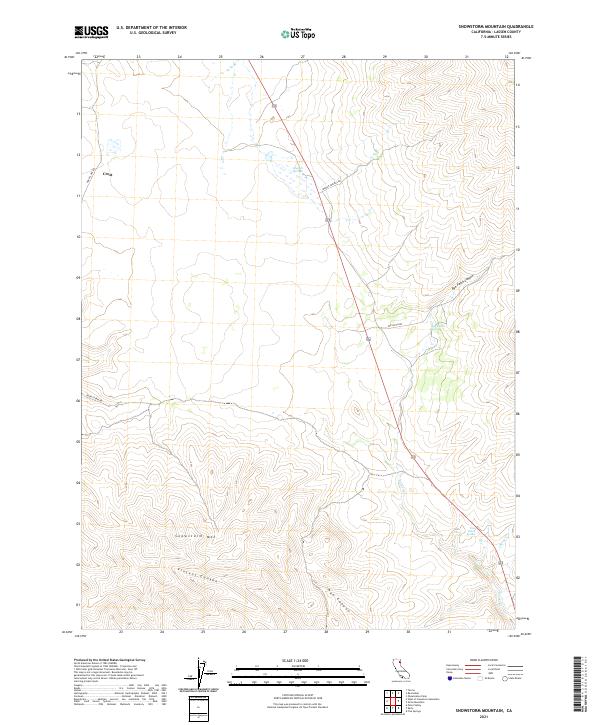
2021 Map of Snowstorm Mountain
USGS Topo · Published 2021About this map
Snowstorm Mtn anchors the high ground of this Lassen County landscape, where the high desert terrain is defined by deep drainages and vital water points. The map documents a sparsely settled area near Crest, where travel is dictated by routes like Horse Lake Rd and Snow Storm Rd. Water sources are the critical landmarks in this environment, with several distinct springs mapped including Spanish Springs, Rye Ranch Spring, and Tule Patch Spring. The drainage patterns are clearly delineated through Vincent Canyon, Nye Canyon, and the winding course of Secret Cr. This 2021 survey provides a clear look at the contemporary interface between public land management and the rugged topography of northeastern California, showing how modern access roads follow the natural contours of the canyons.
Find a feature on this map
18 named features on this map. Tap any name to fly to it.
Don’t see what you’re looking for? This feature index may not catch every label — zoom into the map to look around manually.
Map Details
Editions of this 2021 Snowstorm Mountain Map
This is the sole edition of this map. No revisions or reprints were ever made.
Other maps of this area

1886 · Honey Lake
USGS Topo · 1:250,000

1891 · Honey Lake
USGS Topo · 1:250,000

1893 · Honey Lake
USGS Topo · 1:250,000

1954 · Observation Peak
USGS Topo · 1:62,500

1954 · Karlo
USGS Topo · 1:62,500

1954 · Ravendale
USGS Topo · 1:62,500

1954 · Shinn Mountain
USGS Topo · 1:62,500

1955 · Westwood
USGS Topo · 1:250,000

1958 · Westwood
USGS Topo · 1:250,000

1959 · Westwood
USGS Topo · 1:250,000