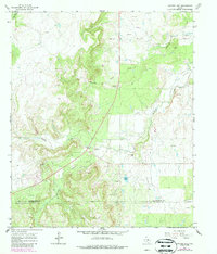
1965 Map of Snyder Lake
USGS Topo · Published 1987About this map
Shackelford Co and Callahan Co meet along a landscape defined by an active Oil Field and the meandering drainage of Hubbard Creek. The terrain is marked by the industrial footprints of the mid-20th century, including numerous Oil Wells and Drill Holes, alongside several resource extraction sites like a Gravel Pit and Borrow Pit. The hydrology of the region is centered on the Salt Prong Hubbard Creek and its tributaries, including Reynolds Creek and Jenkins Creek, which carve through the undulating topography. A single Grave noted near the center of the sheet and the presence of Snyder Lake provide specific points of interest for genealogists and local historians tracking the intersection of family history and the local petroleum economy. Subsurface infrastructure is further evidenced by a prominent Pipeline crossing the northern and southern sectors.
Find a feature on this map
14 named features on this map. Tap any name to fly to it.
Don’t see what you’re looking for? This feature index may not catch every label — zoom into the map to look around manually.
Map Details
Editions of this 1965 Snyder Lake Map
2 editions found
Other maps of this area

1892 · Albany
USGS Topo · 1:125,000

1893 · Albany
USGS Topo · 1:125,000

1931 · Baird
USGS Topo · 1:125,000

1932 · Baird
USGS Topo · 1:125,000

1954 · Abilene
USGS Topo · 1:250,000

1958 · Abilene
USGS Topo · 1:250,000

1965 · Acampo
USGS Topo · 1:24,000

1965 · Albany
USGS Topo · 1:24,000

1965 · McCatherine Mountain
USGS Topo · 1:24,000
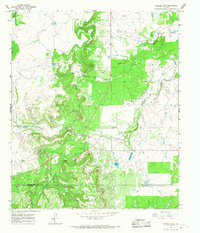
1965 · Snyder Lake
USGS Topo · 1:24,000