
1951 Map of Soap Holes
USGS Topo · Published 1953About this map
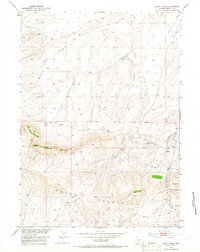
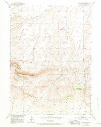
The Green Mountains dominate this high-desert region of central Wyoming, rising sharply toward the southern edge of the sheet near Crooks Mountain. This 1951 field check reveals a landscape primarily used for cattle ranching and early petroleum exploration, characterized by seasonal drainage patterns and high-altitude alkali flats known as the Soap Holes. Traces of the region's ranching heritage appear in the margin, while the map's interior highlights the rugged hydrology of Ice Slough and the winding course of Happy Springs Creek. A solitary Oil Well and the geodetic marker at VABM Green 7750 indicate the intersection of industrial survey work and the vast, open range. The drainage of Haypress Creek further defines the eastern terrain, showing how water sources dictated the movement and settlement patterns across this portion of Fremont County.
Find a feature on this map
16 named features on this map. Tap any name to fly to it.
Don’t see what you’re looking for? This feature index may not catch every label — zoom into the map to look around manually.
Map Details
Editions of this 1951 Soap Holes Map
3 editions found
Other maps of this area

1951 · Graham Ranch
USGS Topo · 1:24,000

1951 · Crooks Mountain
USGS Topo · 1:24,000

1951 · Myers Ranch
USGS Topo · 1:24,000

1953 · Sweetwater Station
USGS Topo · 1:24,000

1953 · Happy Spring
USGS Topo · 1:24,000

1955 · Lander
USGS Topo · 1:250,000

1955 · Casper
USGS Topo · 1:250,000

1958 · Casper
USGS Topo · 1:250,000

1958 · Lander
USGS Topo · 1:250,000

1961 · Lander
USGS Topo · 1:250,000