
1906 Map of Socorro
USGS Topo · Published 1906About this map
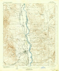
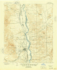
Socorro serves as the focal point of this 1906 survey, showcasing a central hub where the Atchison Topeka and Santa Fe Railway meets the Albuquerque and Paso Line. The settlement pattern follows the Rio Grande, with several small villages and hamlets like Escondida, Lemitar, and Pueblito clustered along the river valley. The map reveals an early industrial landscape dominated by mining and education, specifically the School of Mines located just west of the town center. Local industry is further evidenced by the Dewey Mine and Torrance Mine in the foothills of Socorro Pk. Transit across the river was still facilitated by a Ford and Ferry north of town, and the Old Kansas Road traces a route through the eastern uplands near Mesa del Yeso, illustrating the transit networks of early twentieth-century New Mexico.
Find a feature on this map
80 named features on this map. Tap any name to fly to it.
Don’t see what you’re looking for? This feature index may not catch every label — zoom into the map to look around manually.
Map Details
Editions of this 1906 Socorro Map
3 editions found
Other maps of this area

1916 · La Joya
USGS Topo · 1:125,000

1948 · Carthage
USGS Topo · 1:62,500

1948 · San Antonio
USGS Topo · 1:62,500

1952 · San Anacia
USGS Topo · 1:24,000

1952 · La Joya
USGS Topo · 1:24,000

1952 · Becker SW
USGS Topo · 1:24,000

1954 · Tularosa
USGS Topo · 1:250,000

1954 · Socorro
USGS Topo · 1:250,000

1958 · Socorro
USGS Topo · 1:250,000

1958 · Tularosa
USGS Topo · 1:250,000