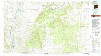
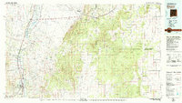
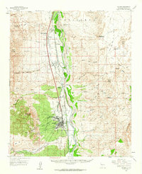
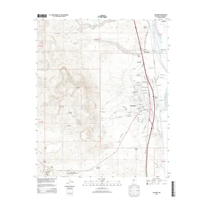
1979 Map of Socorro
USGS Topo · Published 1992About this map
Socorro serves as the focal point for this late-1970s landscape, situated where the Rio Grande valley meets the expansive high desert. The map captures a complex corridor of transit and environment, where the Atchison, Topeka and Santa Fe Railway and I-25 parallel the river, connecting a series of smaller settlements including San Acacia, Polvadera, and Lemitar. To the north, the Sevilleta National Wildlife Refuge encompasses vast stretches of the valley, while the eastern horizon is dominated by the Los Pinos Mountains and the rising elevations of the Cibola National Forest. This survey illustrates the contrast between the irrigated river valley and the arid eastern uplands of Mesa de los Jumanos. Genealogists and historians can trace the placement of remote landmarks like Gran Quivira and specialized infrastructure such as the Monte Prieto Ranch Landing Strip.
Find a feature on this map
41 named features on this map. Tap any name to fly to it.
Don’t see what you’re looking for? This feature index may not catch every label — zoom into the map to look around manually.
Map Details
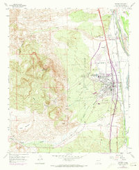
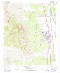
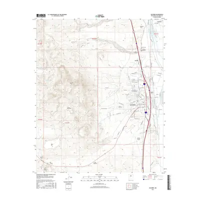
Editions of this 1979 Socorro Map
2 editions found
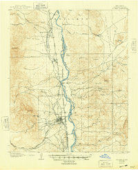
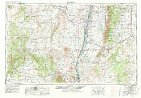
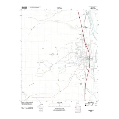
Historical Maps of Socorro Through Time
13 maps found
1906 Socorro
Socorro County, NM
1954 Socorro
Socorro County, NM

1958 Socorro
Socorro County, NM
1959 Socorro
Socorro County, NM
1959 Socorro
Socorro County, NM

1962 Socorro
Socorro County, NM
1979 Socorro
Socorro County, NM
1979 Socorro
Socorro County, NM
2010 Socorro
Socorro County, NM
2013 Socorro
Socorro County, NM
2017 Socorro
Socorro County, NM
2020 Socorro
Socorro County, NM
2023 Socorro
Socorro County, NM