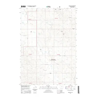
2015 Map of Soda Butte
USGS Topo · Published 2015About this map
Thunder Basin National Grassland dominates this landscape in Weston County, where high plains topography is defined by a dense network of intermittent drainage channels and small water catchments. The terrain is characterized by numerous named draws such as Stellwagon Draw and Schoeber Draw, which channel runoff toward the Buffalo Cr and its tributaries. Human activity in this arid environment is evidenced by the strategic placement of reservoirs including Wellman Reservoir and Myrtle Reservoir, essential for livestock and local water management within the vast grazing lands. The map traces historical transit via routes like Old Four Horse Rd, while the eponymous Soda Butte stands as a prominent natural landmark near the intersection of Soda Butte Rd and the grassland boundary.
Find a feature on this map
32 named features on this map. Tap any name to fly to it.
Don’t see what you’re looking for? This feature index may not catch every label — zoom into the map to look around manually.
Map Details
Editions of this 2015 Soda Butte Map
This is the sole edition of this map. No revisions or reprints were ever made.
Other maps of this area

1918 · Moorcroft
USGS Topo · 1:125,000

1954 · Gillette
USGS Topo · 1:250,000

1955 · Newcastle
USGS Topo · 1:250,000

1955 · Gillette
USGS Topo · 1:250,000

1957 · Upton
USGS Topo · 1:62,500

1958 · Gillette
USGS Topo · 1:250,000

1958 · Newcastle
USGS Topo · 1:250,000

1962 · Gillette
USGS Topo · 1:250,000

1979 · Newcastle
USGS Topo · 1:100,000

1979 · Sundance
USGS Topo · 1:100,000