
1951 Map of Soda Lake
USGS Topo · Published 1953About this map
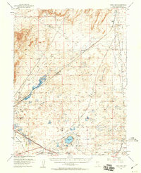
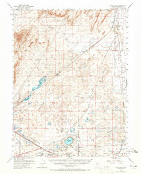
The historical Ragtown (Site) sits at the southern edge of this high-desert landscape, marking a crucial waypoint for travelers on the Old California Trail. During the early 1950s, the region’s complex hydrology is visible through the intricate drainage networks of Wade Drain and Soda Lake Drain, which feed into the Carson River. The twin volcanic craters of Soda Lake and Little Soda Lake serve as the area's most prominent landmarks, set against the low-lying Alkali Flat.
Find a feature on this map
34 named features on this map. Tap any name to fly to it.
Don’t see what you’re looking for? This feature index may not catch every label — zoom into the map to look around manually.
Map Details
Editions of this 1951 Soda Lake Map
3 editions found
Other maps of this area

1890 · Wadsworth
USGS Topo · 1:125,000

1891 · Wabuska
USGS Topo · 1:125,000

1892 · Wadsworth
USGS Topo · 1:125,000

1894 · Wadsworth
USGS Topo · 1:125,000

1894 · Wabuska
USGS Topo · 1:125,000

1908 · Carson Sink
USGS Topo · 1:250,000

1910 · Carson Sink
USGS Topo · 1:250,000

1950 · Stillwater
USGS Topo · 1:62,500

1951 · Carson Lake
USGS Topo · 1:62,500

1951 · Carson Sink
USGS Topo · 1:62,500