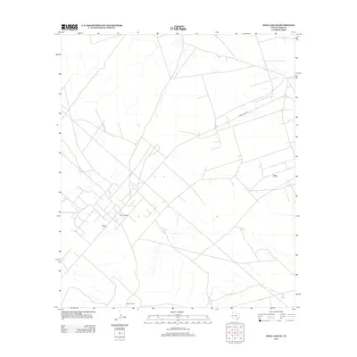
2013 Map of Soda Lake SE
USGS Topo · Published 2013About this map
Quito Oil Field and the nearby Poquito Oil Field define the industrial footprint of this Ward County landscape. This portion of West Texas is characterized by a network of service roads and resource extraction points, with Ranch Road 2355 cutting across the northern reaches. The scarcity of water is evident in the reliance on man-made features such as Division Tank, Tank on the Hill, and First Tank, which provide essential catchments in the arid terrain.
Find a feature on this map
8 named features on this map. Tap any name to fly to it.
Don’t see what you’re looking for? This feature index may not catch every label — zoom into the map to look around manually.
Map Details
Editions of this 2013 Soda Lake SE Map
This is the sole edition of this map. No revisions or reprints were ever made.
Other maps of this area

1931 · Barstow
USGS Topo · 1:125,000

1954 · Pecos
USGS Topo · 1:250,000

1957 · Pecos
USGS Topo · 1:250,000

1961 · Soda Lake
USGS Topo · 1:24,000

1963 · Quito Draw
USGS Topo · 1:24,000

1963 · China Lake
USGS Topo · 1:24,000

1963 · Pecos East
USGS Topo · 1:24,000

1967 · Soda Lake NW
USGS Topo · 1:24,000

1968 · Soda Lake SE
USGS Topo · 1:24,000

1968 · Wink South
USGS Topo · 1:24,000