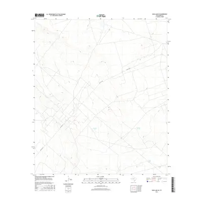
2016 Map of Soda Lake SE
USGS Topo · Published 2016About this map
Ranch Rd 2355 cuts across this arid landscape in Ward County, serving as the primary corridor through a terrain marked by sparse water resources. The geography is defined by a series of essential livestock tanks, which indicate the area's agricultural and ranching utility in the mid-2010s. Among these are Division Tank, Sand Tank, and First Tank, scattered throughout the draws and depressions of the high desert. The topographic detail includes the aptly named Tank on the Hill, illustrating how local elevation was utilized to manage water distribution. This survey provides a precise record of these isolated landmarks and the network of unpaved tracks that connect them across the Texas basin.
Find a feature on this map
5 named features on this map. Tap any name to fly to it.
Don’t see what you’re looking for? This feature index may not catch every label — zoom into the map to look around manually.
Map Details
Editions of this 2016 Soda Lake SE Map
This is the sole edition of this map. No revisions or reprints were ever made.
Other maps of this area

1931 · Barstow
USGS Topo · 1:125,000

1954 · Pecos
USGS Topo · 1:250,000

1957 · Pecos
USGS Topo · 1:250,000

1961 · Soda Lake
USGS Topo · 1:24,000

1963 · Quito Draw
USGS Topo · 1:24,000

1963 · China Lake
USGS Topo · 1:24,000

1963 · Pecos East
USGS Topo · 1:24,000

1967 · Soda Lake NW
USGS Topo · 1:24,000

1968 · Soda Lake SE
USGS Topo · 1:24,000

1968 · Wink South
USGS Topo · 1:24,000