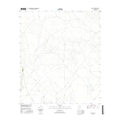
2016 Map of Soda Lake
USGS Topo · Published 2016About this map
The Pecos River serves as the primary geographic border between Reeves and Ward Counties in this western Texas landscape. The region's arid character is defined by a sophisticated water management system designed to sustain the local environment, featuring the Cedarvale Canal, the Barstow Canal, and Lateral Number One. These irrigation structures trace the low-lying areas near the river, supporting the ranching and agricultural operations that define the area's economy. Further east, the namesake Soda Lake sits within a depression of the high plains, accessed by a network of rural roads such as Ranch Rd 516 and Ranch Rd 2355. This modern survey illustrates how water remains the central organizing principle for life and transport in the Permian Basin, showing the persistence of traditional canal systems alongside contemporary ranch roads.
Find a feature on this map
19 named features on this map. Tap any name to fly to it.
Don’t see what you’re looking for? This feature index may not catch every label — zoom into the map to look around manually.
Map Details
Editions of this 2016 Soda Lake Map
This is the sole edition of this map. No revisions or reprints were ever made.
Other maps of this area

1921 · Toyah
USGS Topo · 1:125,000

1931 · Barstow
USGS Topo · 1:125,000

1954 · Pecos
USGS Topo · 1:250,000

1957 · Pecos
USGS Topo · 1:250,000

1961 · Soda Lake
USGS Topo · 1:24,000

1961 · Mentone
USGS Topo · 1:24,000

1961 · Sand Lake
USGS Topo · 1:24,000

1963 · Quito Draw
USGS Topo · 1:24,000

1963 · Pecos East
USGS Topo · 1:24,000

1967 · Soda Lake NW
USGS Topo · 1:24,000