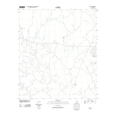
2010 Map of Soda
USGS Topo · Published 2010About this map
Soda Central serves as the hub of this East Texas landscape, where a network of rural roads and family-named routes crisscross a terrain defined by numerous creek branches and small drainages. The area is heavily intersected by water, with Beech Creek, Menard Creek, and the Johnsons Mill Creek drainage feeding into the surrounding forest. Notable water management features include the Lake Winnipesaukee Dam and Lake Donna Dam in the east, while Dogwood Lake sits in the northwest. Local history is anchored by the Bluff Creek Cemetery and family-named landmarks like Broncewell Cemetery Rd and Old Providence Rd. These roads, along with names like Daniel Boone Rd and Tram Rd, suggest a legacy of timber hauling and early settlement patterns across Greenbriar Hollow and the surrounding woods.
Find a feature on this map
49 named features on this map. Tap any name to fly to it.
Don’t see what you’re looking for? This feature index may not catch every label — zoom into the map to look around manually.
Map Details
Editions of this 2010 Soda Map
This is the sole edition of this map. No revisions or reprints were ever made.
Other maps of this area

1954 · Beaumont
USGS Topo · 1:250,000

1955 · Camden
USGS Topo · 1:62,500

1955 · New Willard
USGS Topo · 1:62,500

1957 · Beaumont
USGS Topo · 1:250,000

1958 · Livingston
USGS Topo · 1:62,500

1958 · Segno
USGS Topo · 1:62,500

1984 · Segno
USGS Topo · 1:24,000

1984 · Hortense
USGS Topo · 1:24,000

1984 · Soda
USGS Topo · 1:24,000

1984 · Beaumont
USGS Topo · 1:250,000