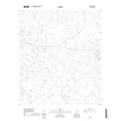
2019 Map of Soda
USGS Topo · Published 2019About this map
Menard Cr and its numerous tributaries, including Choates Cr and Beech Cr, define the drainage patterns of this Polk County landscape. The settlement of Soda Central sits at a crossroads in the central portion of the map, while more recent residential developments are represented by the Buffalo Subdivision to the south. The area is marked by a network of rural roads often named for local families and landmarks, such as Darden Rd and Nettles Cemetery Rd. Genealogists may find interest in the location of Bluff Creek Cem and various named topographical features like Greenbriar Hollow. Water bodies like Dogwood Lake and numerous branches like W Fork Double Br provide a detailed look at the local hydrology near the end of the second decade of the 2000s.
Find a feature on this map
97 named features on this map. Tap any name to fly to it.
Don’t see what you’re looking for? This feature index may not catch every label — zoom into the map to look around manually.
Map Details
Editions of this 2019 Soda Map
This is the sole edition of this map. No revisions or reprints were ever made.
Other maps of this area

1954 · Beaumont
USGS Topo · 1:250,000

1955 · Camden
USGS Topo · 1:62,500

1955 · New Willard
USGS Topo · 1:62,500

1957 · Beaumont
USGS Topo · 1:250,000

1958 · Livingston
USGS Topo · 1:62,500

1958 · Segno
USGS Topo · 1:62,500

1984 · Segno
USGS Topo · 1:24,000

1984 · Hortense
USGS Topo · 1:24,000

1984 · Soda
USGS Topo · 1:24,000

1984 · Beaumont
USGS Topo · 1:250,000