Loading...
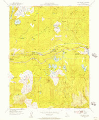
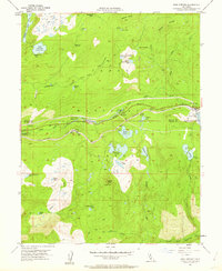
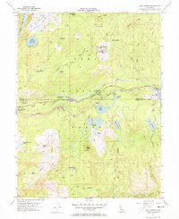
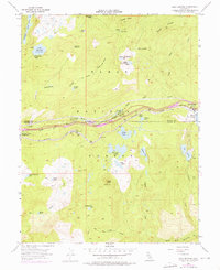
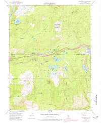
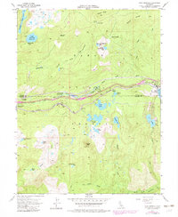
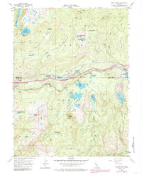
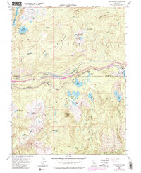
Loading map...1955 Map of Soda Springs
USGS Topo · Published 1957About this map
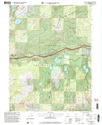
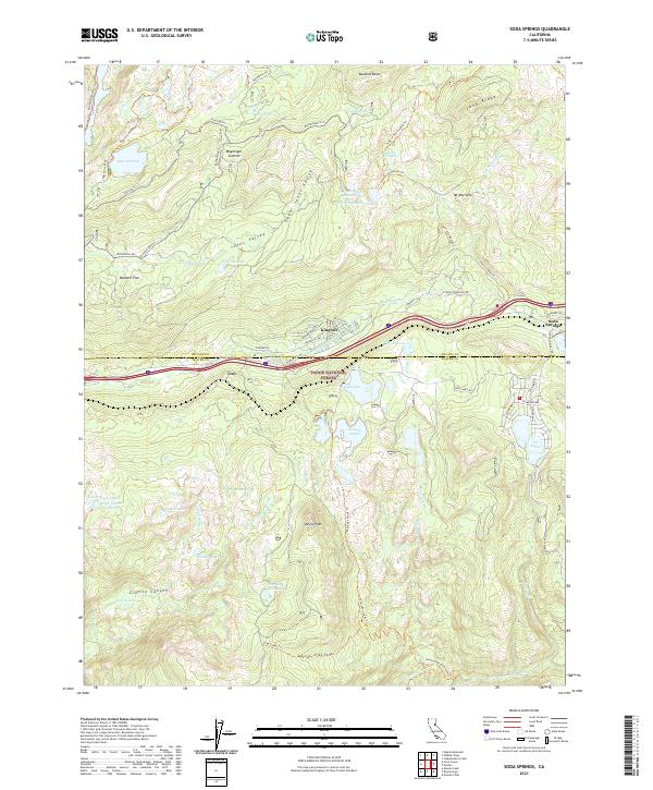
Soda Springs and the Southern Pacific railroad corridor define the high-elevation landscape of the northern Sierra Nevada during this mid-century period. The map traces the critical transportation route between Nevada and Placer Counties, where the railroad and early mountain highways follow the South Yuba River. Settlement is concentrated along this artery at Kingvale and Troy, supported by local infrastructure like the Donner Trail School and the Tamarack Substation.
Find a feature on this map
49 named features on this map. Tap any name to fly to it.
Don’t see what you’re looking for? This feature index may not catch every label — zoom into the map to look around manually.
Map Details
Date Portrayed1955
Date Published1957
PublisherU.S. Geological Survey
Map TypeTopographic
Scale1:24,000
Physical Dimensions22 x 26.8 inches
Editions of this 1955 Soda Springs Map
8 editions found
Historical Maps of Kingvale Through Time
6 maps found
Featured Locations
Source Details
SourceU.S. Geological Survey
CopyrightPublic Domain