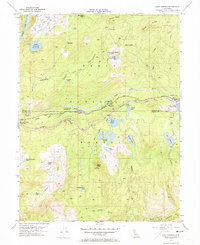
1955 Map of Soda Springs
USGS Topo · Published 1973About this map
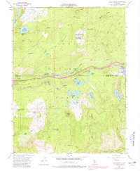
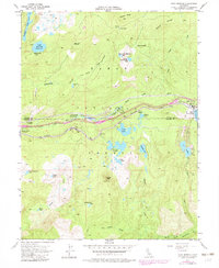
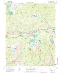
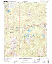
Southern Pacific rail lines and the South Yuba River dominate this mid-century high-country corridor, tracing the historic route through the Sierra Nevada. The map captures the specialized infrastructure of mountain transit, including snowsheds near Troy and an Airway Beacon for early aviation navigation. This era shows a landscape transitioning toward recreation, with numerous sites like Camp Pahatsi, Cold Springs Campground, and Hampshire Rocks Campground established alongside the river and railroad.
Find a feature on this map
51 named features on this map. Tap any name to fly to it.
Don’t see what you’re looking for? This feature index may not catch every label — zoom into the map to look around manually.
Map Details
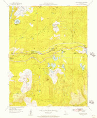
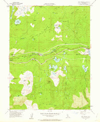
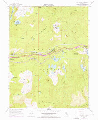
Editions of this 1955 Soda Springs Map
8 editions found
Other maps of this area

1891 · Colfax
USGS Topo · 1:125,000

1891 · Truckee
USGS Topo · 1:125,000

1892 · Colfax
USGS Topo · 1:125,000

1893 · Truckee
USGS Topo · 1:125,000

1894 · Colfax
USGS Topo · 1:125,000

1895 · Truckee
USGS Topo · 1:125,000

1898 · Colfax
USGS Topo · 1:125,000

1900 · Colfax
USGS Topo · 1:125,000

1902 · Colfax
USGS Topo · 1:125,000

1932 · Truckee
USGS Topo · 1:96,000