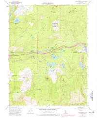
1955 Map of Soda Springs
USGS Topo · Published 1980About this map
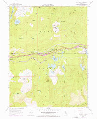
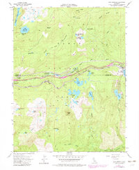
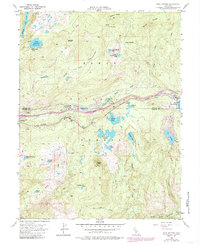
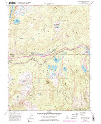
Southern Pacific railroad tracks define the industrial and transit corridor of this high Sierra landscape, carving a path alongside the South Yuba River. During this mid-century period, the area around Soda Springs and Kingvale served as a critical mountain crossing, evidenced by the infrastructure of Snowsheds and the presence of the Donner Trail Sch. The geography is defined by a dense network of alpine water bodies, from the large Lake Van Norden to the more secluded Huntley Mill Lake and Upper Lola Montez Lake.
Find a feature on this map
50 named features on this map. Tap any name to fly to it.
Don’t see what you’re looking for? This feature index may not catch every label — zoom into the map to look around manually.
Map Details
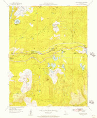
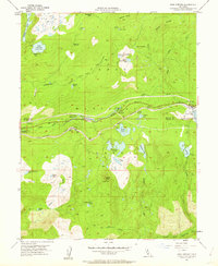
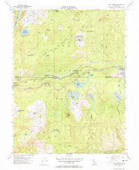
Editions of this 1955 Soda Springs Map
8 editions found
Other maps of this area

1891 · Colfax
USGS Topo · 1:125,000

1891 · Truckee
USGS Topo · 1:125,000

1892 · Colfax
USGS Topo · 1:125,000

1893 · Truckee
USGS Topo · 1:125,000

1894 · Colfax
USGS Topo · 1:125,000

1895 · Truckee
USGS Topo · 1:125,000

1898 · Colfax
USGS Topo · 1:125,000

1900 · Colfax
USGS Topo · 1:125,000

1902 · Colfax
USGS Topo · 1:125,000

1932 · Truckee
USGS Topo · 1:96,000