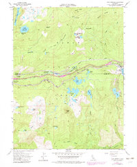
1955 Map of Soda Springs
USGS Topo · Published 1983About this map
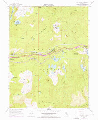
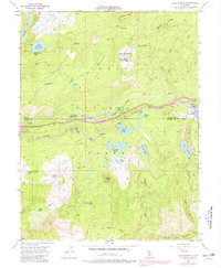
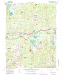
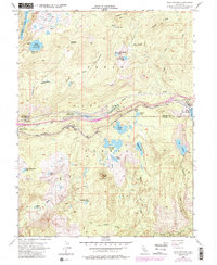
The Southern Pacific railroad corridor defines the development and transport character of this high-elevation Sierra Nevada pass, connecting the settlements of Soda Springs, Kingvale, and Troy. The map documents the intricate water management and recreational landscape within the Tahoe National Forest, where numerous natural and man-made water bodies like Lake Sterling, Kidd Lake, and the Cascade Lakes cluster around the upper reaches of the South Yuba River. Significant mid-century infrastructure is evident through the presence of the Tamarack Substation, an Airway Beacon, and the Donner Trail Sch near the riverbanks.
Find a feature on this map
48 named features on this map. Tap any name to fly to it.
Don’t see what you’re looking for? This feature index may not catch every label — zoom into the map to look around manually.
Map Details
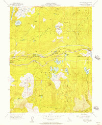
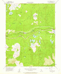
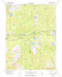
Editions of this 1955 Soda Springs Map
8 editions found
Other maps of this area

1891 · Colfax
USGS Topo · 1:125,000

1891 · Truckee
USGS Topo · 1:125,000

1892 · Colfax
USGS Topo · 1:125,000

1893 · Truckee
USGS Topo · 1:125,000

1894 · Colfax
USGS Topo · 1:125,000

1895 · Truckee
USGS Topo · 1:125,000

1898 · Colfax
USGS Topo · 1:125,000

1900 · Colfax
USGS Topo · 1:125,000

1902 · Colfax
USGS Topo · 1:125,000

1932 · Truckee
USGS Topo · 1:96,000