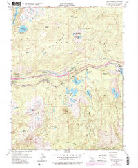
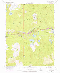
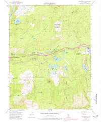
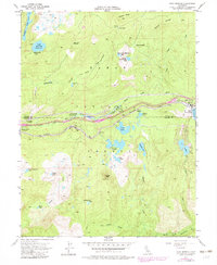
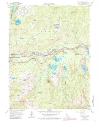
1955 Map of Soda Springs
USGS Topo · Published 1985About this map
The Southern Pacific railroad corridor serves as the primary artery through this high Sierra Nevada landscape, following the course of the South Yuba River through Tahoe National Forest. In the mid-1950s, the mountain community of Soda Springs sits at the eastern edge of the map, adjacent to Lake Van Norden, while small settlements like Kingvale and Troy dot the rail line to the west. The presence of the Donner Trail Sch near the river reflects the enduring significance of this historic transcontinental passage.
Find a feature on this map
49 named features on this map. Tap any name to fly to it.
Don’t see what you’re looking for? This feature index may not catch every label — zoom into the map to look around manually.
Map Details
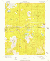
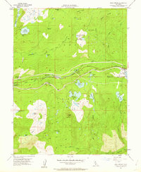
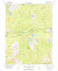
Editions of this 1955 Soda Springs Map
8 editions found
Other maps of this area

1891 · Colfax
USGS Topo · 1:125,000

1891 · Truckee
USGS Topo · 1:125,000

1892 · Colfax
USGS Topo · 1:125,000

1893 · Truckee
USGS Topo · 1:125,000

1894 · Colfax
USGS Topo · 1:125,000

1895 · Truckee
USGS Topo · 1:125,000

1898 · Colfax
USGS Topo · 1:125,000

1900 · Colfax
USGS Topo · 1:125,000

1902 · Colfax
USGS Topo · 1:125,000

1932 · Truckee
USGS Topo · 1:96,000