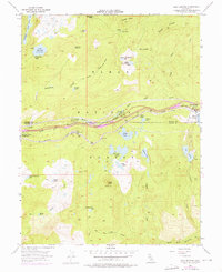
1955 Map of Soda Springs
USGS Topo · Published 1976About this map
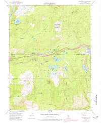
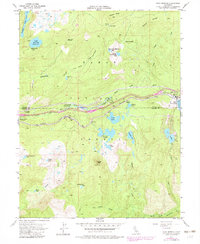
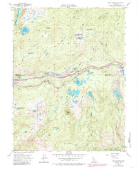
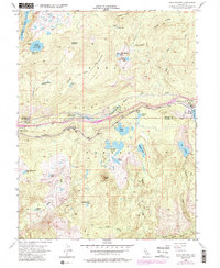
Tahoe National Forest dominates this mountain landscape, which served as a critical corridor for transcontinental travel through the Sierra Nevada during the mid-twentieth century. The Southern Pacific railroad and the historic Donner Trail parallel the South Yuba River, tracing the path of early pioneers and modern transport. Small mountain communities and seasonal stops like Soda Springs, Kingvale, and Troy are clustered along this primary east-west artery, showing the region's reliance on the rail and road network.
Find a feature on this map
51 named features on this map. Tap any name to fly to it.
Don’t see what you’re looking for? This feature index may not catch every label — zoom into the map to look around manually.
Map Details
Editions of this 1955 Soda Springs Map
8 editions found
Other maps of this area

1891 · Colfax
USGS Topo · 1:125,000

1891 · Truckee
USGS Topo · 1:125,000

1892 · Colfax
USGS Topo · 1:125,000

1893 · Truckee
USGS Topo · 1:125,000

1894 · Colfax
USGS Topo · 1:125,000

1895 · Truckee
USGS Topo · 1:125,000

1898 · Colfax
USGS Topo · 1:125,000

1900 · Colfax
USGS Topo · 1:125,000

1902 · Colfax
USGS Topo · 1:125,000

1932 · Truckee
USGS Topo · 1:96,000