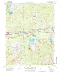
1955 Map of Soda Springs
USGS Topo · Published 1985About this map
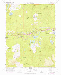
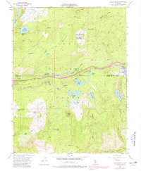
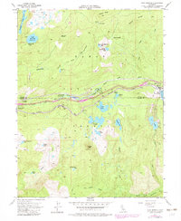
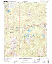
Soda Springs serves as a central hub along the Southern Pacific rail line during this mid-century period, illustrating the complex infrastructure required for transcontinental travel through the Sierra Nevada. The map captures a high-elevation corridor defined by the South Yuba River and the legacy of the Donner Trail Sch, where modern utilities like the Tamarack Substation meet historic transit routes. Significant alpine hydrology is present, with the sprawling Lake Van Norden and the remote Ice Lakes situated amidst the peaks of the Tahoe National Forest. The presence of specialized railway infrastructure, including Snowsheds near Troy and the Water Tank at the rail siding, highlights the technical challenges of maintaining passage through this mountainous terrain. From the granite heights of Devils Peak to the deep cut of Long Valley, the survey documents a landscape balancing seasonal recreation at Hampshire Rocks Campground with the industrial necessity of the railroad.
Find a feature on this map
48 named features on this map. Tap any name to fly to it.
Don’t see what you’re looking for? This feature index may not catch every label — zoom into the map to look around manually.
Map Details
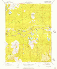
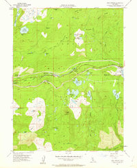
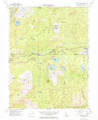
Editions of this 1955 Soda Springs Map
8 editions found
Other maps of this area

1891 · Colfax
USGS Topo · 1:125,000

1891 · Truckee
USGS Topo · 1:125,000

1892 · Colfax
USGS Topo · 1:125,000

1893 · Truckee
USGS Topo · 1:125,000

1894 · Colfax
USGS Topo · 1:125,000

1895 · Truckee
USGS Topo · 1:125,000

1898 · Colfax
USGS Topo · 1:125,000

1900 · Colfax
USGS Topo · 1:125,000

1902 · Colfax
USGS Topo · 1:125,000

1932 · Truckee
USGS Topo · 1:96,000