Loading...
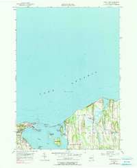
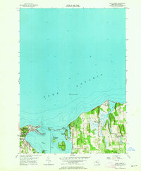
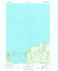
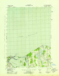
Loading map...1953 Map of Sodus Point
USGS Topo · Published 1990About this map
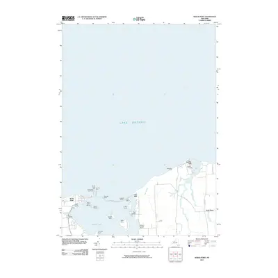
Sodus Point serves as a focal point of this coastal landscape, situated where the Pennsylvania railroad line meets the southern shore of Lake Ontario. The intricate geography of Sodus Bay is revealed through its numerous islands, including Newark Island, Le Roy Island, and Eagle Island, which together define the sheltered waters west of the Huron town line. A thin strip of land at Crescent Beach separates the bay from the open lake, leading toward the prominent elevations of Lake Bluff and the dramatic Chimney Bluff.
Find a feature on this map
26 named features on this map. Tap any name to fly to it.
Don’t see what you’re looking for? This feature index may not catch every label — zoom into the map to look around manually.
Map Details
Date Portrayed1953
Date Published1990
PublisherU.S. Geological Survey
Map TypeTopographic
Scale1:24,000
Physical Dimensions22.1 x 27 inches
Editions of this 1953 Sodus Point Map
4 editions found

Historical Maps of Sodus Through Time
7 maps found

Featured Locations
Source Details
SourceU.S. Geological Survey
CopyrightPublic Domain