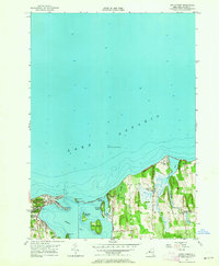
1953 Map of Sodus Point
USGS Topo · Published 1964About this map
Sodus Bay dominates this coastal survey, where the deep waters of Lake Ontario meet a complex network of barrier beaches and islands. The settlement of Sodus Point sits at the western entrance to the bay, characterized by its grid of streets and a prominent Golf Course. To the east, the landscape shifts toward the dramatic elevations of Chimney Bluffs and the rural community of North Huron.
Find a feature on this map
26 named features on this map. Tap any name to fly to it.
Don’t see what you’re looking for? This feature index may not catch every label — zoom into the map to look around manually.
Map Details
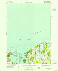
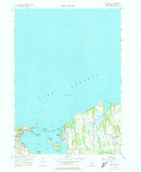
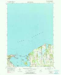
Editions of this 1953 Sodus Point Map
4 editions found
Other maps of this area

1899 · Palmyra
USGS Topo · 1:62,500

1902 · Sodus Bay
USGS Topo · 1:62,500

1902 · Pultneyville
USGS Topo · 1:62,500

1902 · Clyde
USGS Topo · 1:62,500

1902 · Palmyra
USGS Topo · 1:62,500

1943 · Sodus Point
USGS Topo · 1:31,680

1943 · Sodus
USGS Topo · 1:31,680

1943 · Wolcott
USGS Topo · 1:31,680
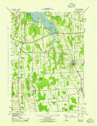
1943 · Rose
USGS Topo · 1:31,680
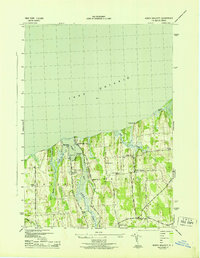
1943 · North Wolcott
USGS Topo · 1:31,680