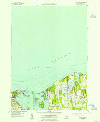
1953 Map of Sodus Point
USGS Topo · Published 1955About this map
Sodus Bay and its complex network of islands and sandbars define this mid-century survey of the Wayne County shoreline. The village of Sodus Point sits prominently at the bay's mouth, where the Pennsylvania railroad line terminates near the lakefront. This era shows a landscape transitioning between its maritime industrial roots and its growing identity as a lakeside retreat, evidenced by the clustered cottages at Lake Bluff and the recreational grounds of East Bay Park.
Find a feature on this map
29 named features on this map. Tap any name to fly to it.
Don’t see what you’re looking for? This feature index may not catch every label — zoom into the map to look around manually.
Map Details
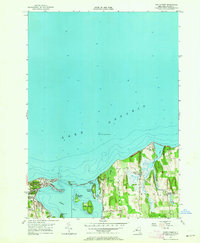
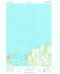
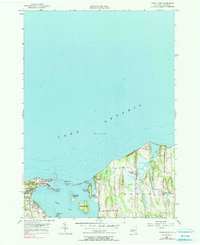
Editions of this 1953 Sodus Point Map
4 editions found
Other maps of this area

1899 · Palmyra
USGS Topo · 1:62,500

1902 · Sodus Bay
USGS Topo · 1:62,500

1902 · Pultneyville
USGS Topo · 1:62,500

1902 · Clyde
USGS Topo · 1:62,500

1902 · Palmyra
USGS Topo · 1:62,500

1943 · Sodus Point
USGS Topo · 1:31,680

1943 · Sodus
USGS Topo · 1:31,680

1943 · Wolcott
USGS Topo · 1:31,680
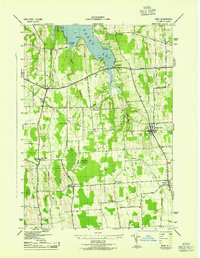
1943 · Rose
USGS Topo · 1:31,680
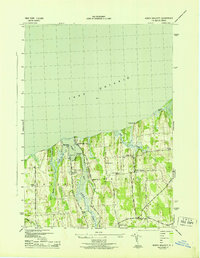
1943 · North Wolcott
USGS Topo · 1:31,680