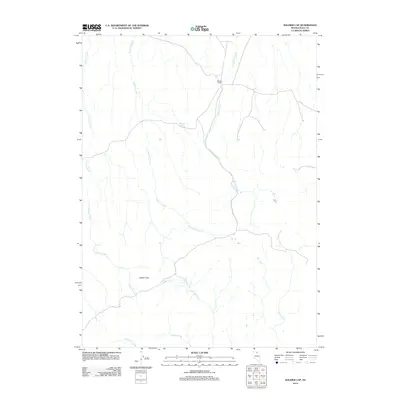
2012 Map of Soldier Cap
USGS Topo · Published 2012About this map
Winters Ranch sits as a primary human landmark in this high-desert ranching landscape of Elko County. The terrain is defined by a series of drainage networks flowing from the namesake Soldier Cap landform, including the prominent Winters Creek and Threemile Creek. This 2012 survey illustrates the critical role of water sources in the Great Basin, mapping small but vital points like Mahogany Spring. The map captures a contemporary look at rural Nevada infrastructure, where ranch roads connect remote outposts across a landscape carved by seasonal waterways like Soldier Creek and Chimney Creek. This documentation serves as a modern baseline for the land use and hydrography of the region north of the Humboldt River valley.
Find a feature on this map
10 named features on this map. Tap any name to fly to it.
Don’t see what you’re looking for? This feature index may not catch every label — zoom into the map to look around manually.
Map Details
Editions of this 2012 Soldier Cap Map
This is the sole edition of this map. No revisions or reprints were ever made.
Other maps of this area

1955 · McDermitt
USGS Topo · 1:250,000

1956 · Mt. Blitzen
USGS Topo · 1:62,500

1959 · McDermitt
USGS Topo · 1:250,000

1964 · Wilson Reservoir
USGS Topo · 1:62,500

1973 · Little Rock Creek
USGS Topo · 1:24,000

1974 · Soldier Cap
USGS Topo · 1:24,000

1974 · Middle Draw Reservoir
USGS Topo · 1:24,000

1974 · Winters Ranch Reservoir
USGS Topo · 1:24,000

1974 · Burner Hills
USGS Topo · 1:24,000

1977 · Scraper Springs
USGS Topo · 1:24,000