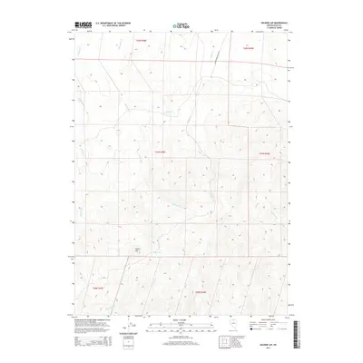
2014 Map of Soldier Cap
USGS Topo · Published 2014About this map
Soldier Cap rises as a prominent landmark in this high-desert portion of Elko County, where the landscape is defined by a radiating network of seasonal drainages. In the early 21st century, the terrain remains largely undeveloped, crossed primarily by Scraper Springs Road 18 in the northeast. Water sources are scarce but critical to the local geography, notably marked by Mahogany Spring and various ephemeral streams including Threemile Cr, Winters Cr, and Soldier Cr. The map details a complex system of canyons and ridges, showing how the headwaters of Chimney Cr and Coyote Cr carve through the high country. This survey illustrates the remote character of Nevada's interior, where land use is dictated by the availability of water and the orientation of the high ridges.
Find a feature on this map
17 named features on this map. Tap any name to fly to it.
Don’t see what you’re looking for? This feature index may not catch every label — zoom into the map to look around manually.
Map Details
Editions of this 2014 Soldier Cap Map
This is the sole edition of this map. No revisions or reprints were ever made.
Other maps of this area

1955 · McDermitt
USGS Topo · 1:250,000

1956 · Mt. Blitzen
USGS Topo · 1:62,500

1959 · McDermitt
USGS Topo · 1:250,000

1964 · Wilson Reservoir
USGS Topo · 1:62,500

1973 · Little Rock Creek
USGS Topo · 1:24,000

1974 · Soldier Cap
USGS Topo · 1:24,000

1974 · Middle Draw Reservoir
USGS Topo · 1:24,000

1974 · Winters Ranch Reservoir
USGS Topo · 1:24,000

1974 · Burner Hills
USGS Topo · 1:24,000

1977 · Scraper Springs
USGS Topo · 1:24,000