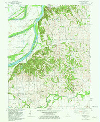
1981 Map of Solitude
USGS Topo · Published 1981About this map
The Wabash River creates a dynamic border between Indiana and Illinois, defining a landscape of sprawling islands and relic watercourses. Significant features like Ribeyre Island and Turkey Island are framed by the Old Channel, reflecting the shifting nature of the river's path over time. To the east, the historic settlement of New Harmony stands as a focal point, complemented by the The Labyrinth and Murphy Park. This 1981 survey details a region where the traditional river-and-rail economy is still visible through the Louisville and Nashville railroad lines and several active Oil Fields.
Find a feature on this map
56 named features on this map. Tap any name to fly to it.
Don’t see what you’re looking for? This feature index may not catch every label — zoom into the map to look around manually.
Map Details
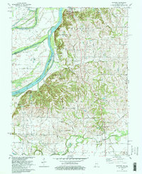
Editions of this 1981 Solitude Map
2 editions found
Other maps of this area

1903 · New Harmony
USGS Topo · 1:62,500

1903 · Patoka
USGS Topo · 1:125,000

1905 · New Haven
USGS Topo · 1:62,500

1906 · New Haven
USGS Topo · 1:62,500

1917 · Uniontown
USGS Topo · 1:62,500

1938 · New Harmony
USGS Topo · 1:62,500

1940 · Carmi
USGS Topo · 1:62,500

1943 · Carmi
USGS Topo · 1:62,500

1949 · Paducah
USGS Topo · 1:250,000

1949 · New Haven
USGS Topo · 1:62,500