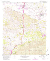
1959 Map of Solvang
USGS Topo · Published 1982About this map
Mission Santa Ines stands as a focal point of this Santa Barbara County landscape, situated just east of the Danish-inspired settlement of Solvang. The map documents a transition from the agricultural flats along the Santa Ynez River to the steep elevations of the Santa Ynez Mountains in the south. Notable ranching operations such as Alisal Ranch, Gardner Ranch, and Live Oak Ranch are interspersed with natural landmarks like Nojoqui Falls and the high point of Gaviota Peak. Significant infrastructure of the era is visible, including the development around Buellton and the winding course of the Nojoqui Creek through the Nojoqui region. The southern portion of the map transitions into the protected lands of Los Padres National Forest and Gaviota State Park, highlighting the intersection of private landholdings and public wilderness.
Find a feature on this map
48 named features on this map. Tap any name to fly to it.
Don’t see what you’re looking for? This feature index may not catch every label — zoom into the map to look around manually.
Map Details
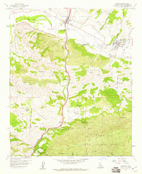
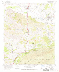
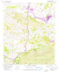
Editions of this 1959 Solvang Map
4 editions found
Other maps of this area

1905 · Lompoc
USGS Topo · 1:125,000

1942 · Lompoc
USGS Topo · 1:125,000

1942 · Lompoc
USGS Topo · 1:62,500

1942 · Pt. Conception
USGS Topo · 1:62,500

1942 · Gaviota
USGS Topo · 1:62,500

1942 · Los Olivos
USGS Topo · 1:62,500

1943 · Los Olivos
USGS Topo · 1:62,500

1943 · Lompoc
USGS Topo · 1:125,000

1943 · Gaviota
USGS Topo · 1:62,500

1947 · Gaviota
USGS Topo · 1:62,500