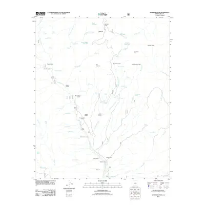
2011 Map of Sombrero Peak
USGS Topo · Published 2011About this map
Sombrero Peak and its neighbor Little Sombrero Peak dominate this Gila County landscape, where the terrain transitions into a complex system of deep washes and canyons. Ranching activity is evident through established properties like the Ellison Ranch, Flying H Ranch, and Cook Ranch, which are situated along the ephemeral watercourses and springs that define the area's hydrology. The mapping reveals a reliance on isolated water sources such as Bermuda Falls Spring, Wild Cow Tank, and Half Barrel Spring, reflecting the essential infrastructure for livestock management in this arid environment.
Find a feature on this map
72 named features on this map. Tap any name to fly to it.
Don’t see what you’re looking for? This feature index may not catch every label — zoom into the map to look around manually.
Map Details
Editions of this 2011 Sombrero Peak Map
This is the sole edition of this map. No revisions or reprints were ever made.
Other maps of this area

1922 · Chrysotile
USGS Topo · 1:125,000

1946 · Blue House Mtn
USGS Topo · 1:62,500

1949 · McFadden Peak
USGS Topo · 1:62,500

1949 · Rockinstraw Mtn
USGS Topo · 1:62,500

1950 · Rockinstraw Mtn
USGS Topo · 1:62,500

1950 · McFadden Peak
USGS Topo · 1:62,500

1951 · Blue House Mtn
USGS Topo · 1:62,500

1954 · Mesa
USGS Topo · 1:250,000

1957 · Mesa
USGS Topo · 1:250,000

1958 · Mesa
USGS Topo · 1:250,000