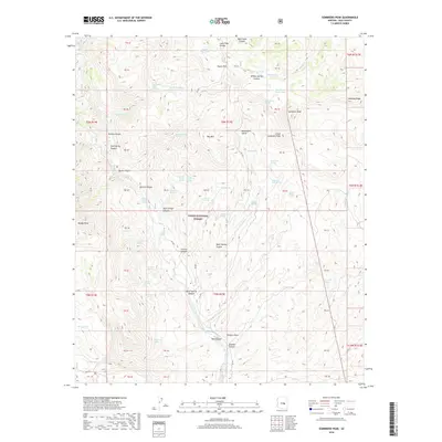
2018 Map of Sombrero Peak
USGS Topo · Published 2018About this map
Tonto National Forest land defines this portion of Gila County, where the prominent Sombrero Peak and Little Sombrero Peak rise above a complex network of canyons and high ridges. The landscape is marked by a high density of water sources essential for this arid region, including Bermuda Falls Spring, Yellow Jacket Spring, and the Half Barrel Spring. These features, along with names like Mustang Ridge and Hog Mtn, reflect a history of land use tied to the area's natural topography.
Find a feature on this map
86 named features on this map. Tap any name to fly to it.
Don’t see what you’re looking for? This feature index may not catch every label — zoom into the map to look around manually.
Map Details
Editions of this 2018 Sombrero Peak Map
This is the sole edition of this map. No revisions or reprints were ever made.
Other maps of this area

1922 · Chrysotile
USGS Topo · 1:125,000

1946 · Blue House Mtn
USGS Topo · 1:62,500

1949 · McFadden Peak
USGS Topo · 1:62,500

1949 · Rockinstraw Mtn
USGS Topo · 1:62,500

1950 · Rockinstraw Mtn
USGS Topo · 1:62,500

1950 · McFadden Peak
USGS Topo · 1:62,500

1951 · Blue House Mtn
USGS Topo · 1:62,500

1954 · Mesa
USGS Topo · 1:250,000

1957 · Mesa
USGS Topo · 1:250,000

1958 · Mesa
USGS Topo · 1:250,000