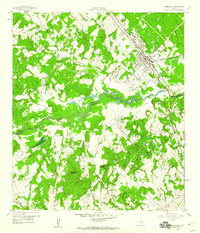
1959 Map of Somerville
USGS Topo · Published 1960About this map
Somerville stands as a significant rail hub at the intersection of the Gulf Colorado and Santa Fe railroad and Highway 36. This 1959 snapshot captures the town's layout including the Somerville Substa and Somerville High Sch. The surrounding landscape is defined by the winding course of Yegua Creek, which serves as the boundary between Burleson and Washington Counties.
Find a feature on this map
35 named features on this map. Tap any name to fly to it.
Don’t see what you’re looking for? This feature index may not catch every label — zoom into the map to look around manually.
Map Details
Editions of this 1959 Somerville Map
This is the sole edition of this map. No revisions or reprints were ever made.
Other maps of this area
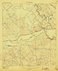
1914 · Gay Hill
USGS Topo · 1:62,500
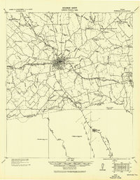
1930 · Brenham
USGS Topo · 1:62,500

1954 · Austin
USGS Topo · 1:250,000
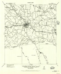
1956 · Brenham
USGS Topo · 1:62,500
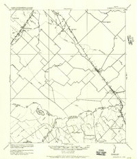
1956 · Somerville
USGS Topo · 1:62,500
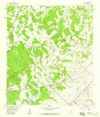
1958 · Carmine
USGS Topo · 1:24,000
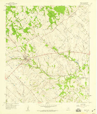
1958 · Burton
USGS Topo · 1:24,000
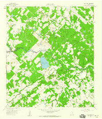
1959 · Flag Pond
USGS Topo · 1:24,000
1959 · Gay Hill
USGS Topo · 1:24,000
1960 · Lyons
USGS Topo · 1:24,000