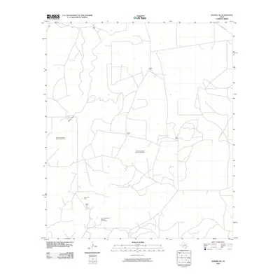
2010 Map of Sonora NE
USGS Topo · Published 2010About this map
Mertz Ranch and Caralita Ranch anchor the northern landscape of this Schleicher County terrain, where the cattle-ranching legacy of the Edwards Plateau meets the modern energy industry. The southwestern corner of the sheet transitions into industrial utility with the Steen Gas Field, situated near the Steen Ranch. The drainage patterns of Meckel Draw are significantly modified by water management infrastructure, specifically the Soil Conservation Service Site 5 Dam, along with Sites 9 and 10. These dams illustrate the mid-to-late 20th-century push for soil conservation and flood control in the arid Texas Hill Country. Connectivity is maintained by a network of local tracks and Ranch Rd 2596, which provides access to established holdings like Powell Ranch and Logan Ranch.
Find a feature on this map
11 named features on this map. Tap any name to fly to it.
Don’t see what you’re looking for? This feature index may not catch every label — zoom into the map to look around manually.
Map Details
Editions of this 2010 Sonora NE Map
This is the sole edition of this map. No revisions or reprints were ever made.
Other maps of this area

1893 · Fort McKavett
USGS Topo · 1:125,000

1954 · Sonora
USGS Topo · 1:250,000

1958 · Sonora
USGS Topo · 1:250,000

1963 · Buffalo Well NW
USGS Topo · 1:24,000

1963 · Buffalo Well SW
USGS Topo · 1:24,000

1963 · Adams SW
USGS Topo · 1:24,000

1964 · Sonora
USGS Topo · 1:24,000

1964 · Sonora SE
USGS Topo · 1:24,000

1964 · Sonora NE
USGS Topo · 1:24,000

1964 · Eldorado SW
USGS Topo · 1:24,000