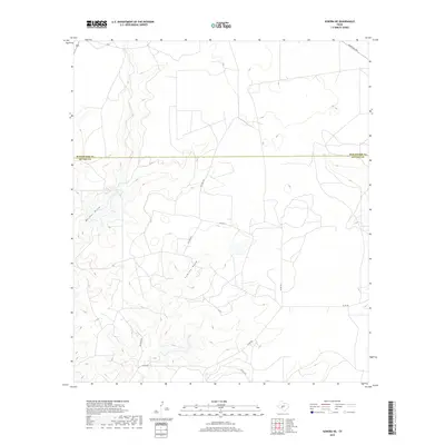
2019 Map of Sonora NE
USGS Topo · Published 2019About this map
Meckel Draw and Lowrey Draw define the topography of this Edwards Plateau landscape, where the intermittent drainage patterns carve through the high limestone plains. Located at the jurisdictional divide between Schleicher and Sutton Counties, the area is characterized by a sparse network of ranch roads and private tracks that provide access to the interior of these large Texas landholdings. Primary transit is facilitated by Ranch Rd 2596 in the northeast and several county routes including Co Rd 211 and Co Rd 202. The map illustrates a modern ranching environment where infrastructure is focused on private access, as seen in the numerous numbered routes like Pvt Rd 2228 and Pvt Rd 2138, which are critical for navigating the expansive acreage of the West Texas divide country.
Find a feature on this map
11 named features on this map. Tap any name to fly to it.
Don’t see what you’re looking for? This feature index may not catch every label — zoom into the map to look around manually.
Map Details
Editions of this 2019 Sonora NE Map
This is the sole edition of this map. No revisions or reprints were ever made.
Other maps of this area

1893 · Fort McKavett
USGS Topo · 1:125,000

1954 · Sonora
USGS Topo · 1:250,000

1958 · Sonora
USGS Topo · 1:250,000

1963 · Buffalo Well NW
USGS Topo · 1:24,000

1963 · Buffalo Well SW
USGS Topo · 1:24,000

1963 · Adams SW
USGS Topo · 1:24,000

1964 · Sonora
USGS Topo · 1:24,000

1964 · Sonora SE
USGS Topo · 1:24,000

1964 · Sonora NE
USGS Topo · 1:24,000

1964 · Eldorado SW
USGS Topo · 1:24,000