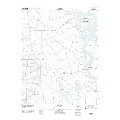
2011 Map of Sonora
USGS Topo · Published 2011About this map
Springdale and the eastern suburbs of Fayetteville define the western edge of this 2011 Arkansas survey, which quickly transitions into the varied terrain of the Ozarks. The landscape is marked by prominent high points such as Fitzgerald Mountain, Webber Mountain, and Price Mountain, while the White River and the southern reaches of Beaver Lake dominate the eastern drainage. This era shows a mix of suburban expansion and traditional rural settlements like Sonora, Accident, and Blue Springs Village.
Find a feature on this map
181 named features on this map. Tap any name to fly to it.
Don’t see what you’re looking for? This feature index may not catch every label — zoom into the map to look around manually.
Map Details
Editions of this 2011 Sonora Map
This is the sole edition of this map. No revisions or reprints were ever made.
Other maps of this area

1899 · Fayetteville
USGS Topo · 1:125,000

1900 · Eureka Springs
USGS Topo · 1:125,000

1901 · Eureka Springs
USGS Topo · 1:125,000

1901 · Fayetteville
USGS Topo · 1:125,000

1904 · Fayetteville
USGS Topo · 1:125,000

1945 · Harrison
USGS Topo · 1:250,000

1949 · Harrison
USGS Topo · 1:250,000

1954 · Harrison
USGS Topo · 1:250,000

1954 · Tulsa
USGS Topo · 1:250,000

1957 · War Eagle
USGS Topo · 1:24,000