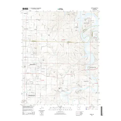
2014 Map of Sonora
USGS Topo · Published 2014About this map
Beaver Lake dominates the northeastern landscape of this Washington and Benton County border region, where the White River winds past Neills Bluff and Helton Bluff. The area reflects a mix of suburban expansion and rural tradition, with the city limits of Springdale and Fayetteville extending into the western half of the sheet. Notable aviation facilities like the Springdale Municipal Airport and the Circle S Farms Airport near Creech signal the modern character of the corridor.
Find a feature on this map
59 named features on this map. Tap any name to fly to it.
Don’t see what you’re looking for? This feature index may not catch every label — zoom into the map to look around manually.
Map Details
Editions of this 2014 Sonora Map
This is the sole edition of this map. No revisions or reprints were ever made.
Other maps of this area

1899 · Fayetteville
USGS Topo · 1:125,000

1900 · Eureka Springs
USGS Topo · 1:125,000

1901 · Eureka Springs
USGS Topo · 1:125,000

1901 · Fayetteville
USGS Topo · 1:125,000

1904 · Fayetteville
USGS Topo · 1:125,000

1945 · Harrison
USGS Topo · 1:250,000

1949 · Harrison
USGS Topo · 1:250,000

1954 · Harrison
USGS Topo · 1:250,000

1954 · Tulsa
USGS Topo · 1:250,000

1957 · War Eagle
USGS Topo · 1:24,000