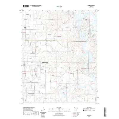
2020 Map of Sonora
USGS Topo · Published 2020About this map
Fayetteville and Springdale occupy the southwestern reaches of this survey, where the expanding urban edge meets the complex hydrology of the Ozark Plateau. The landscape is defined by the White River and its numerous tributaries, including Clear Cr and Hickory Cr, which feed into the sprawling waters of Beaver Lake. Smaller communities like Sonora and Pleasure Heights are scattered across the higher ground, often situated near distinctive topographic markers such as Price Mtn and Fitzgerald Mtn. For local historians and genealogists, the map identifies several rural burial grounds, including Phillips Cem and Dibler Cem, alongside aviation landmarks like Circle S Farms Airport. The transition from the dense street grids of Lowell to the rugged bluffs of Helton Bluff and Neills Bluff illustrates the varied character of the Benton and Washington county line.
Find a feature on this map
64 named features on this map. Tap any name to fly to it.
Don’t see what you’re looking for? This feature index may not catch every label — zoom into the map to look around manually.
Map Details
Editions of this 2020 Sonora Map
This is the sole edition of this map. No revisions or reprints were ever made.
Other maps of this area

1899 · Fayetteville
USGS Topo · 1:125,000

1900 · Eureka Springs
USGS Topo · 1:125,000

1901 · Eureka Springs
USGS Topo · 1:125,000

1901 · Fayetteville
USGS Topo · 1:125,000

1904 · Fayetteville
USGS Topo · 1:125,000

1945 · Harrison
USGS Topo · 1:250,000

1949 · Harrison
USGS Topo · 1:250,000

1954 · Harrison
USGS Topo · 1:250,000

1954 · Tulsa
USGS Topo · 1:250,000

1957 · War Eagle
USGS Topo · 1:24,000