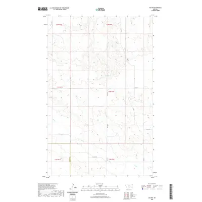
2020 Map of Soo NW
USGS Topo · Published 2020About this map
The boundary between Daniels Co and Sheridan Co defines the western edge of this landscape in the Brockton District, where seasonal drainages carve through the high plains. The terrain is marked by the winding courses of Redstone Cr and Wolf Cr, which dictate the local topography and the placement of the sparse road network. This survey reflects the enduring section-line organization of the region, where gravel and local roads like Wolf Creek Rd and S Redstone Rd serve as the primary conduits for agricultural and ranching movement. The map provides a clear look at the spatial relationship between natural watercourses and the established township and range system, showing how remote routes such as Welliver Rd and Two Tree Rd navigate the contours of the northeastern Montana plains.
Find a feature on this map
14 named features on this map. Tap any name to fly to it.
Don’t see what you’re looking for? This feature index may not catch every label — zoom into the map to look around manually.
Map Details
Editions of this 2020 Soo NW Map
This is the sole edition of this map. No revisions or reprints were ever made.
Other maps of this area

1954 · Wolf Point
USGS Topo · 1:250,000

1958 · Wolf Point
USGS Topo · 1:250,000

1973 · Navajo
USGS Topo · 1:24,000

1973 · Pleasant Prairie
USGS Topo · 1:24,000

1973 · Pleasant Prairie NE
USGS Topo · 1:24,000

1983 · Redstone
USGS Topo · 1:24,000

1983 · Soo NW
USGS Topo · 1:24,000

1983 · Archer
USGS Topo · 1:24,000
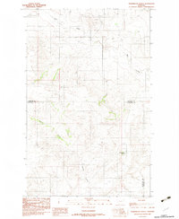
1983 · Thornwood Ranch
USGS Topo · 1:24,000
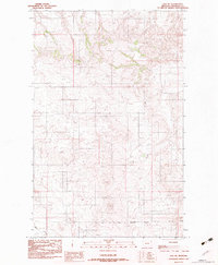
1983 · Soo NE
USGS Topo · 1:24,000