
1983 Map of Soo NW
USGS Topo · Published 1983About this map
The Fort Peck Indian Reservation Boundary cuts across the southern portion of this landscape, marking a significant administrative division in northeastern Montana. The terrain is defined by the drainage patterns of Redstone Creek and Wolf Creek, which carve through the high plains. The map also captures the political boundary between Sheridan Co and Daniels Co, providing a clear record of county-line positioning as it stood in the early 1980s. This transitional landscape shows the intricate coulees and upland plateaus that characterize the region, offering researchers a detailed look at the rural geography before modern development or changes in land use altered the local topography.
Find a feature on this map
4 named features on this map. Tap any name to fly to it.
Don’t see what you’re looking for? This feature index may not catch every label — zoom into the map to look around manually.
Map Details
Editions of this 1983 Soo NW Map
This is the sole edition of this map. No revisions or reprints were ever made.
Other maps of this area

1954 · Wolf Point
USGS Topo · 1:250,000

1958 · Wolf Point
USGS Topo · 1:250,000

1973 · Navajo
USGS Topo · 1:24,000

1973 · Pleasant Prairie
USGS Topo · 1:24,000

1973 · Pleasant Prairie NE
USGS Topo · 1:24,000

1983 · Redstone
USGS Topo · 1:24,000

1983 · Archer
USGS Topo · 1:24,000
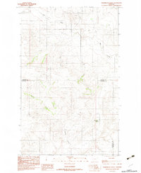
1983 · Thornwood Ranch
USGS Topo · 1:24,000
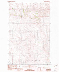
1983 · Soo NE
USGS Topo · 1:24,000
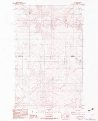
1983 · Soo
USGS Topo · 1:24,000