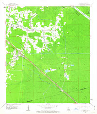
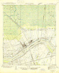
1962 Map of Sorrento
USGS Topo · Published 1963About this map
Sorrento and the surrounding Ascension Parish bottomlands are defined by a complex network of waterways and ridges in the early 1960s. The Kansas City Southern railroad cuts a sharp diagonal through a landscape of cypress swamps and low-lying ridges, connecting settlements like St Amant and Acy. Local life is anchored by landmarks such as New River Ch and St Ann Chapel, while family legacies are preserved at the Richardson Cem.
Find a feature on this map
32 named features on this map. Tap any name to fly to it.
Don’t see what you’re looking for? This feature index may not catch every label — zoom into the map to look around manually.
Map Details
Editions of this 1962 Sorrento Map
4 editions found
Other maps of this area

1892 · Mount Airy
USGS Topo · 1:62,500

1892 · Donaldsonville
USGS Topo · 1:62,500

1934 · Denham Springs
USGS Topo · 1:62,500

1934 · Springfield
USGS Topo · 1:62,500

1935 · Gonzales
USGS Topo · 1:31,680

1939 · Springfield
USGS Topo · 1:62,500

1939 · Denham Springs
USGS Topo · 1:62,500

1939 · Donaldsonville
USGS Topo · 1:62,500

1946 · Convent
USGS Topo · 1:31,680
1946 · Lutcher
USGS Topo · 1:31,680