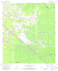
1962 Map of Sorrento
USGS Topo · Published 1981About this map
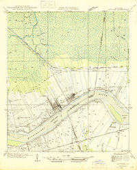
The Amite River and its accompanying Amite River Diversion Canal define the watery landscape of Ascension Parish in this early 1960s survey, updated with late 1970s revisions. The topography is dominated by low-lying ridges and a complex system of waterways, including Black Bayou, New River Canal, and Bayou Conway. These natural and man-made channels support the local communities of St Amant, Sorrento, and Acy, which are linked by both road and the Kansas City Southern railroad line.
Find a feature on this map
42 named features on this map. Tap any name to fly to it.
Don’t see what you’re looking for? This feature index may not catch every label — zoom into the map to look around manually.
Map Details
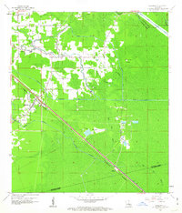
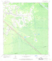
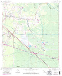
Editions of this 1962 Sorrento Map
4 editions found
Other maps of this area

1892 · Mount Airy
USGS Topo · 1:62,500

1892 · Donaldsonville
USGS Topo · 1:62,500

1934 · Denham Springs
USGS Topo · 1:62,500

1934 · Springfield
USGS Topo · 1:62,500

1935 · Gonzales
USGS Topo · 1:31,680

1939 · Springfield
USGS Topo · 1:62,500

1939 · Denham Springs
USGS Topo · 1:62,500

1939 · Donaldsonville
USGS Topo · 1:62,500

1946 · Convent
USGS Topo · 1:31,680
1946 · Lutcher
USGS Topo · 1:31,680