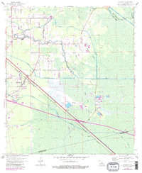
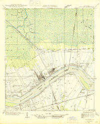
1962 Map of Sorrento
USGS Topo · Published 1981About this map
Sorrento sits at the intersection of heavy rail and complex southern Louisiana wetlands during the early 1960s. The Kansas City Southern railroad cuts a straight diagonal through the landscape, anchoring the local economy and settlement pattern. This era shows the community's reliance on both modern infrastructure and the intricate natural drainage system of the Amite River basin. Low-lying elevations are defined by named ridges like Laurel Ridge and Junction Ridge, which provided the necessary high ground for early roads and farming.
Find a feature on this map
30 named features on this map. Tap any name to fly to it.
Don’t see what you’re looking for? This feature index may not catch every label — zoom into the map to look around manually.
Map Details
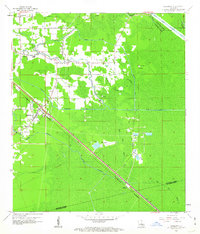
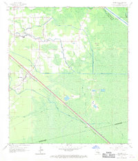
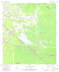
Editions of this 1962 Sorrento Map
4 editions found
Other maps of this area

1892 · Mount Airy
USGS Topo · 1:62,500

1892 · Donaldsonville
USGS Topo · 1:62,500

1934 · Denham Springs
USGS Topo · 1:62,500

1934 · Springfield
USGS Topo · 1:62,500

1935 · Gonzales
USGS Topo · 1:31,680

1939 · Springfield
USGS Topo · 1:62,500

1939 · Denham Springs
USGS Topo · 1:62,500

1939 · Donaldsonville
USGS Topo · 1:62,500

1946 · Convent
USGS Topo · 1:31,680
1946 · Lutcher
USGS Topo · 1:31,680